Dundee Airport (DND)
Orientation and Maps
(Dundee, Scotland)
Scotland's fourth biggest city after Edinburgh, Glasgow and Aberdeen, Dundee can be found along the northern side of the estuary of the River Tay. Famous for its scientific discoveries and industrial past, Dundee is also known for its marmalade and lies on the eastern coast of Scotland.
Well placed and close to the very heart of Scotland, Dundee Airport (DND) is situated on the south-western side of the city. The airport is often known as 'Riverside Airport', due to its waterfront location and is the main transport hub for many miles, serving nearby Arbroath, Carnoustie, Perth and St. Andrews, amongst other locations.
Dundee Airport (DND) Maps: Important City Districts
Within the city of Dundee you will find a number of prominent roads, including High Street, Commercial Street and Murraygate. St. Paul's Cathedral lies at the intersection of these three roads, close to the Forum Centre and the Tourist Information outlet along Castle Street.
Dundee is surrounded by the Marketgait ring road, which includes a number of large roundabouts along the route, such as the Riverside Roundabout to the south, the Eastport Roundabout to the east, the Ladywekk Roundabout to the north, and the Westport Roundabout to the west. The Wellgate Shopping Centre can be found on the northern side of the city, close to St. Andrews Church and the main library. Dundee's University of Abertay lies to the north, with the Overgate Shopping Centre on the south-western side of the city, close to Nethergate.
Further afield, those looking for outdoor sports and leisure activities will find a number of world-class golf courses, including those located at both nearby Gleneagles and St. Andrews.
United Kingdom Map

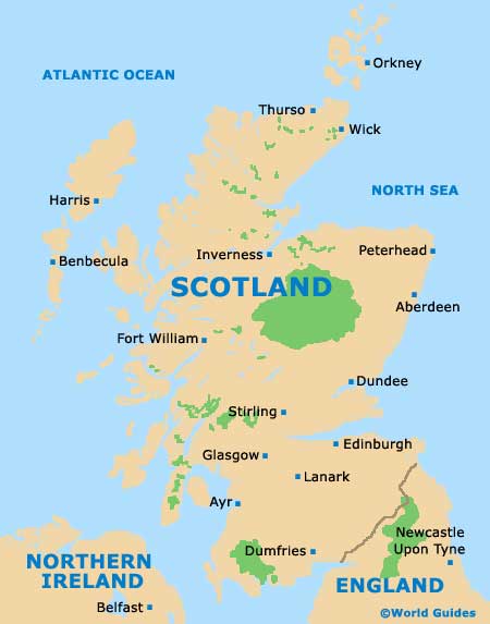
Scotland Map
Dundee Map

